Great Smoky Mountains National Park contains over 800 miles of maintained trails — more than enough to fill a lifetime of visits. From Gatlinburg, you have direct access to some of the park's most iconic hikes, as well as quieter paths that reward those willing to look a little harder. Here's a trail guide organized by difficulty, with something for every type of hiker.
Easy: Perfect for Beginners & Families
Laurel Falls Trail
The most popular waterfall hike in the park, and for good reason. This 2.6-mile paved round trip leads to the largest easily accessible waterfall in the Smokies. The trail is wide and well-maintained, making it accessible for most ages and fitness levels. Go early — the parking lot fills quickly, especially in summer.
Gatlinburg Trail
One of only two trails in the park where pets and bikes are permitted, this 3.8-mile out-and-back begins at the Sugarlands Visitor Center and follows the West Prong of the Little Pigeon River back toward town. It's flat, forested, and genuinely lovely — a great introduction to the park's landscape without any serious elevation gain.
Cataract Falls Trail
A short, under-the-radar trail near the Sugarlands Visitor Center that leads to a pretty cascade through old-growth forest. It sees far less traffic than Laurel Falls and takes about 30 minutes. A good pick if you want a quick nature fix without the crowds.
Moderate: For the Weekend Hiker
Alum Cave Trail to Arch Rock
The full Alum Cave Trail climbs to the summit of Mount LeConte, but even hiking just to Arch Rock (about 2.4 miles round trip) or Alum Cave Bluffs (4.4 miles round trip) delivers stunning scenery — mossy forest, a unique concave bluff formation, and mountain views. This trail earns its popularity. Trail passes are required and should be reserved in advance during busy seasons.
Chimney Tops Trail
A 3.5-mile out-and-back with significant elevation gain that leads to dramatic exposed rock formations with sweeping views. Note: the summit scramble beyond the official trail end is no longer permitted following trail damage, but the views from the official endpoint are still spectacular. One of the most rewarding moderate hikes in the park.
Challenging: For the Summit Seeker
Mount LeConte via Alum Cave Trail
At 11 miles round trip with over 2,700 feet of elevation gain, LeConte is the big one near Gatlinburg. The third-highest peak in the Smokies, it rewards summit hikers with extraordinary views and, for those who planned far enough ahead, the chance to stay overnight at LeConte Lodge — the only backcountry lodge in the park. The Alum Cave route is the most popular approach and the most scenic.
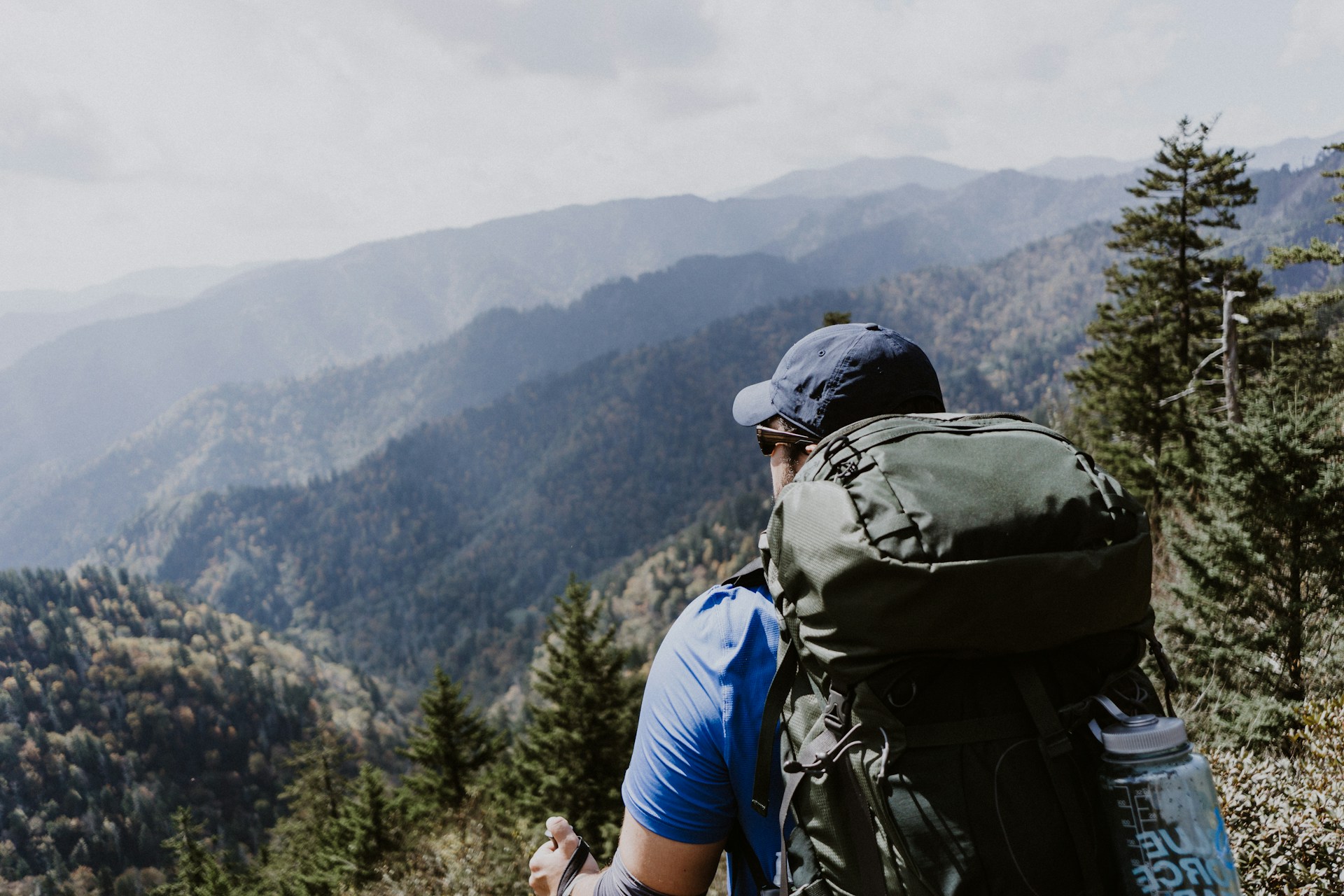
Charlies Bunion via Appalachian Trail
An 8-mile out-and-back that begins at Newfound Gap and follows the Appalachian Trail to one of the most dramatic viewpoints in the entire park. The exposed rocky outcrop at Charlies Bunion offers a 270-degree panorama of the Smoky Mountain ridgeline. A serious but deeply satisfying hike for those in good shape.
Before You Hit the Trail
- Get a parking tag: Required at most trailheads since 2023. Available at recreation.gov or self-service kiosks at major trailheads.
- Start early: Popular trailhead parking fills by mid-morning on weekends in summer and fall. Aim to be on trail by 8 a.m.
- Carry the 10 essentials: Water, snacks, map, first aid, rain layer, and sun protection at minimum — even on short hikes.
- Watch the weather: Afternoon thunderstorms are common in summer. Check forecasts and plan to be off exposed ridges before early afternoon.
- Wildlife awareness: Black bears are common in the Smokies. Make noise on the trail, never approach wildlife, and store all food properly.
The Smokies are one of the most biodiverse places in North America, and every trail tells a different story. Whether you have two hours or two days, there's a hike here that will stay with you long after you leave.